MATIENZO CAVES PROJECT
Aerial Panoramic Photos & Videos |
A number of aerial, 360° panoramic photos and videos have been taken with the aim of finding new holes or investigating those in places that are difficult to access. An early success (early 2018) was the discovery of Torca del Dron (site 4669), a few metres down off the track at Los Cantones (the top end of the TV Mast track).
The photos and videos are presented here so that interested cavers can compare them with annotated maps and photographs supplied through Google Earth, OruxMaps or other sources.
(The Matienzo QGIS map has layers accessing Pangazer with most these photos and videos so people who have downloaded the map (version 181015 or later) do not need to load either PanGazer or the panoramas from this page.)
The latest overview map (8/10/2022) shows the extent of video tracks (blue) and orange panorama circles with the 2021 & 2022 permit areas and cave centre lines. After the February 2022 visit, 6 panos and 4 videos were added to South Vega west. After the Easter expedition, 2 videos and 2 panos were added. After the summer expedition, 4 videos and 7 panoramas were added.
Photo panoramas
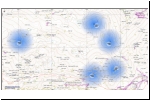
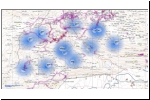
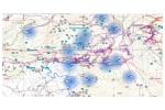
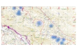
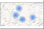
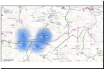
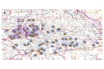
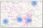
The 120 aerial panoramas (marked on the maps with fading blue circles) are 360° panoramas (22 or 23 photos stitched together; large size - about 120Mb) taken by drone flying some tens of metres above the ground. The images should be viewed with PanGazer to get the most from them. Some photos are more informative than others and have been taken in different lighting conditions. Some may have site number(s) and/or compass points superimposed to aid orientation or highlight features.
When a thumbnail jpg below is left-clicked, a larger version is shown. Each panorama is indicated as a dark blue fading circle and has a code displayed: date and video number. A left-click over each dark blue fading circle will view the (distorted) 360° aerial panorama file. Right-clicking over a dark blue circle will download the aerial panorama file (Save link as...) for subsequent viewing in PanGazer.
Photo viewer - Pangazer.
Pangazer, a program written by Mike Cowlishaw and highly suited to viewing 360° drone panoramas. As well as rotation and zoom, features include multiple views, addition of compass points, a link to Google Maps to show where the panorama was taken, and the facility to save the screen view at any point.
The PanGazer website has complete instructions and a download page. The program folder can be installed anywhere and you may wish to put a shortcut to the appropriate exe file on the desktop. Once PanGazer is started, the panorama files can be dragged into the app window or loaded from the Image/Open new image... menu. Two screens are a definite advantage to compare an aerial panorama photo with a map.
Videos
These are edited aerial videos on YouTube: left-click to view. A kml file for Google Earth and a map are provided for nearly all the flight paths. However, the drone's camera was not necessarily switched on through the whole flight and / or sections of the flight video may have been edited out. There may also be "extra" flight path where the drone flew out and back to take a panorama.
Most of each video has a view point looking straight down although there are often oblique views at the beginning and / or end of each video. Every flight path has red chevrons indicating the direction of travel.
Juan Corrin, 2018 - 2022, Feb 2025
|
| 3 6 0 ° A E R I A L P A N O R A M A S Click image to enlarge and choose photo. (Latest update, 136 panos: May 2024) |
Alisas-Trillos-Seldesuto (5)
|
Lastrilla-Arnilla-Cubija (12)
|
Matienzo-north (12)
|
Muela-Mullir (13)
|
Riaño-south (4)
 |
San Antonio-south (5)
|
South Vega hillside (80)
|
Vallina-Colorado (4)
 |
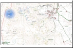
Monte Llusa - El Rincón (1)
 |
Fresnedo
(1)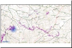 |
|
|
| A E R I A L V I D E O S (Latest update, 81 videos: May 2024). Listed approximately N to S. |
Video on YouTube
Left-click to play |
date |
General area in video |
Map
Left-click to enlarge |
kml file for Google Earth
left-click to activate |
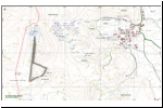
| Monte Llusa depression at summit |
13/4/2019 |
Start S of Monte Llusa; fly east then west and north to end over large, wooded depression. |
|
|
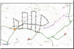
| Fuente Aguanaz (SJ) |
20/8/2018 |
Over the end of Sarah Jean Inlet in Fuente Aguanaz |
|
kml |
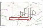
| Fuente Aguanaz (SJ) |
20/8/2018 |
Over the end of Sarah Jean Inlet in Fuente Aguanaz |
|
kml |
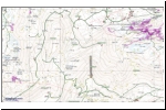
| Riaño/La Gatuna |
11/8/2018 |
Out along the spur between Riaño and La Gatuna. |
|
kml |
| ElNaso-Cubija |
5/4/2018 |
El Naso --> over Cubija |
|
|
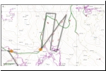
| LaSecada-ElNaso |
12/8/2018 |
Over and below the Bosmartín road, towards La Secada. |
|
kml |
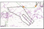
| Bosmartín-El Naso-Cubija |
18/8/2018 |
Bosmartín road down towards Cubija. |
|
kml |
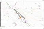
| Cubija - Portón |
18/8/2018 |
NW from Cueva Portón |
|
kml |
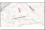
| Arnilla (green patches) |
2/2/2020 |
Green patches at Arnilla |
|
kml |
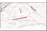
| Arnilla (east to west) |
2/2/2020 |
Fly over Arnilla valley to west hillside |
|
kml |
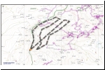
| Lastrilla |
1/9/2018 |
Northwest of Cueva Lastrilla |
|
kml |
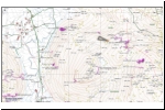
| Duengo |
23/7/2018 |
Short flight up and out from "Arthur's Rock" |
|
kml |
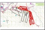
| Duengo |
12/10/2020 |
Flight A. Matienzo / Llueva col |
|
kml |
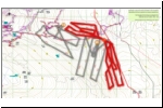
| Duengo |
12/10/2020 |
Flight D. Matienzo / Llueva col |
|
kml |
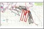
| Duengo |
12/10/2020 |
Flight E. Matienzo / Llueva col |
|
kml |
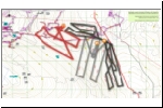
| Duengo |
12/10/2020 |
Flight B. Matienzo / Llueva col |
|
kml |
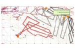
| Duengo |
1/9/2021 |
Flight C2. South and southeast of La Cuvia. |
|
kml |
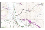
| La Colina |
11/8/2018 |
Up La Colina to inspect site 4211 area. |
|
kml |
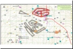
| La Colina |
24/10/2020 |
Flight F. Dissected karst near Alpine Chough Pot. |
|
kml |
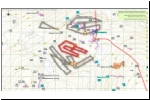
| La Colina |
24/10/2020 |
Flight G. Northeast of La Colina. |
|
kml |
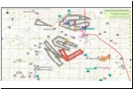
| La Colina |
24/10/2020 |
Flight J. Northeast of La Colina. |
|
kml |
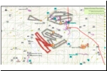
| La Colina |
24/10/2020 |
Flight H. Northeast of La Colina. |
|
kml |
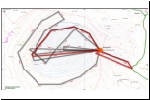
| Hoya de Yusa |
14/11/2018 |
Fly around the north side of the 500m diameter Hoya de Yusa and return across the middle. |
|
kml |
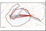
| Hoya de Yusa |
14/11/2018 |
North side and centre inspection of the Hoya de Yusa. |
|
kml |
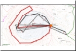
| Hoya de Yusa |
14/11/2018 |
Along the south, west and northwest sides of the depression before coming back across the middle. |
|
kml |
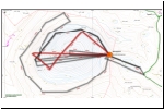
| Hoya de Yusa |
14/11/2018 |
Criss-crossing the depression. Filmed using head goggles to direct the view point. |
|
kml |
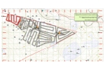
| Mullir - east |
8/10/2020 |
Flight W. |
|
kml |
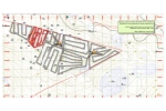
| Mullir - east |
8/10/2020 |
Flight V. |
|
kml |
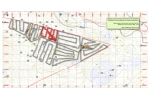
| Mullir - east |
13/8/2021 |
Flight T. |
|
kml |
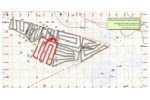
| Mullir - east |
13/8/2021 |
Flight U. |
|
kml |
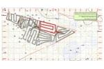
| Mullir - east |
10/8/2021 |
Flight R. |
|
kml |
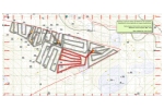
| Mullir - east |
13/8/2021 |
Flight S. |
|
kml |
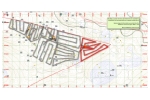
| Mullir - east |
10/8/2021 |
Flight Q. |
|
kml |
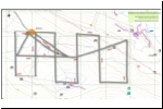
| Jivero |
10/10/2020 |
Flight P. Southwest of Jivero area. |
|
kml |
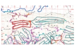
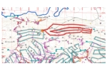
| S Vega |
27/7/2022 |
West of the Comellantes water tank. |
|
kml |
| S Vega |
27/7/2022 |
East of the Comellantes water tank. |
|
kml |
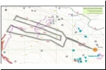
| S Vega |
12/10/2020 |
Flight O. West of Mega Mujer. |
|
kml |
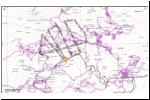
| S Vega (Vera Negra) |
27/8/2018 |
North and east of Torca de la Vera Negra. |
|
kml |
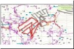
| S Vega |
12/10/2020 |
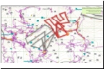
Flight N. Between Coterón and Reñada (west) |
|
kml |
| S Vega |
12/10/2020 |
Flight M. Between Coterón and Reñada (east) |
|
kml |
| S Vega |
20/8/2021 |
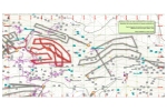
Flight Z01-H. East of Coterón (0264) |
|
kml |
| S Vega |
20/8/2021 |
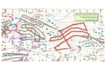
Flight Z. Northeast of Cueva Adillos (0034) |
|
kml |
| S Vega (TV Mast valley) |
29/7/2018 |
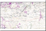
Up the valley south of Cueva de la Cantones. |
|
kml |
| S Vega (S of Cueva del Mazo, #0312) |
19/4/2024 |
Hillside south of road and Mazo; E of La Cuevuca. |
 |
kml |
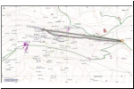
| S Vega (to site 4416) |
30/7/2018 |
Traverse along the hillside east to site 4416 |
|
kml |
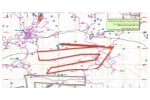
| S Vega |
31/8/2021 |
Flight SVega-12. Southeast of Torca de Papá Noel. |
|
kml |
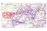
| S Vega - Puchas |
8/2/2022 |
Over the Las Puchas depression, Seldesuto. |
|
kml |
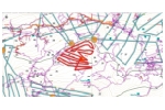
| SVega Azpil-PNoel |
15/4/2022 |
Between Azpilicueta and Papá Noel. |
|
kml |
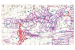
| S Vega - Puchas |
8/2/2022 |
South from the Puchas depression. |
|
kml |
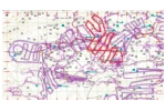
| S Vega |
8/2/2022 |
West and downhill from Papá Noel. |
|
kml |
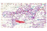
| S Vega-Puchas-Top |
9/2/2022 |
Over the top of the summit to the south of Azpilicueta. |
|
kml |
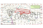
| Coquisera (0039) area |
24/8/2021 |
Northeast of Coquisera entrance. |
|
kml |
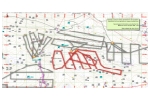
| Coquisera (0039) area |
24/8/2021 |
East of Coquisera entrance. |
|
kml |
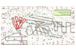
| Coquisera (0039) area |
24/8/2021 |
North of Coquisera entrance. |
|
kml |
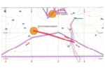
| Coquisera (0039) area |
14/10/2021 |
West over Coquisera. (short)
(DJI_0722) |
|
kml |
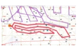
| Coquisera (0039) area |
16/10/2021 |
Covering high ground east towards Cruz Usaño.
(DJI_0723) |
|
kml |
| Cruz Usaņo, west |
16/10/2021 |
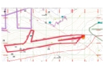
Flying west from Cruz Usaño.
(DJI_0724A) |
|
kml |
| La Rasa 01 |
19/8/2018 |
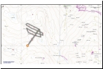
South of La Rasa down towards Seldesuto |
|
kml |
| La Rasa 02 |
19/8/2018 |
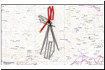
South of La Rasa down towards Seldesuto |
|
kml |
| La Rasa 03 |
19/8/2018 |
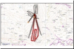
Over the crevices and pits at La Rasa |
|
kml |
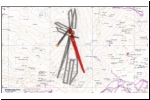
| La Rasa 04 |
19/8/2018 |
SE towards La Rasa |
|
kml |
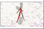
| La Rasa 05 |
19/8/2018 |
SW towards La Rasa |
|
kml |
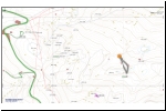
| Los Trillos |
19/8/2018 |
Short flight at Los Trillos |
|
kml |
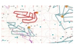
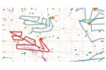
| South Vega |
27/8/2022 |
Between Reñada and Vallina (N) |
|
kml |
| South Vega |
27/8/2022 |
Between Reñada and Vallina (S) |
|
kml |
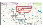
| South Vega |
17/10/2020 |
Flight L. To the north of El Somo |
|
kml |
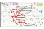
| El Somo |
17/10/2020 |
Flight K. To the north of El Somo. |
|
kml |
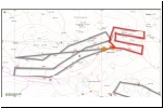
| El Somo |
19/11/2018 |
A flight to the east towards La Piluca. |
|
kml |
| El Somo |
19/11/2018 |
Out towards Piluca and back. |
No map |
No KML file |
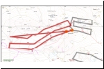
| El Somo |
19/11/2018 |
Flying along the ridge at El Somo. |
|
kml |
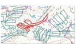
| TV Mast Cave to El Somo |
16/4/2022 |
From above TV Mast Cave towards El Somo. |
|
kml |
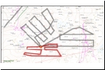
| La Piluca |
18/11/2018 |
Close to La Piluca, on the northeast ridge. |
|
kml |
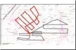
| La Piluca |
18/11/2018 |
Further out from La Piluca, to the north-northeast. |
|
kml |
| La Piluca |
18/11/2018 |
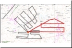
Northeast of La Piluca including flights over the terrain above Codisera. |
|
kml |
| La Piluca |
28/8/2021 |
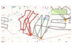
North northwest of the La Piluca summit. |
|
kml |
| La Piluca |
28/8/2021 |
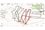
North of the La Piluca summit. |
|
kml |
| Vallina 01 |
13/11/2018 |
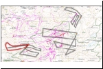
Colorado - west of Vallina 1 and the track. (DJI_0959) |
|
kml |
| Vallina 02 |
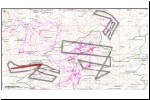
13/11/2018 |
Colorado - west of Vallina 1 and the track. (DJI_0960) |
|
kml |
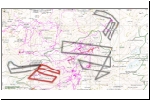
| Vallina 03 |
13/11/2018 |
Colorado - flying over Galería de Germán, Vallina 1, east of the track. (DJI_1010) |
|
kml |
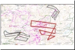
| Vallina 04 |
13/11/2018 |
Colorado - flying mainly west-east over the NE section of Vallina 1, over the valley under which most of Vallina 1 appears to run. (DJI_1011) |
|
kml |
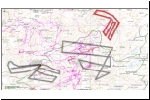
| Vallina 05 |
13/11/2018 |
Northwest of El Castro - flying over the upstream sumps of Vallina 1 and the 2017/2018 extensions. (DJI_1058) |
|
kml |


