4001: Injanas 1, Cueva de las
Hoznayo 30T 442602 4804798 (Datum: ETRS89. Accuracy code: A) Altitude 38m
Length 304m includes Cueva de las Injanas 2 (site 4444)
Area position : Logbook search
Updated 19th February, 7th May 2016
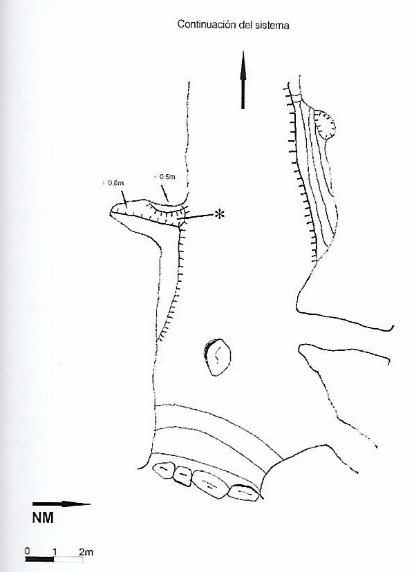
A cave first looked at by the Matienzo Caves Project in October 2009 and called Cueva Picadon. A sketch made at the time is shown below.
In their archaeology of the Miera, Chuchi and Emilio call caves here Cueva de las Injanas I, II and III (also called "cueva de los Picardos").
Cueva de las Injanas I and site 4444 (Cueva de las Injanas II) were explored and joined together at Easter 2016
(shown together on the survey).
The system runs just inside the hill and carries drainage from the adjacent fields and probably sewage from a nearby property.
The 5m wide x 3m high main opening into Cueva de las Injanas I immediately meets 2 smaller entrances coming in from the north. A stream is met which immediately sinks in mud and rubble just inside the main entrance. Just past the northern entrances, two shafts come in from the surface and walking upstream and clambering over boulders reaches climbs on the northside into a small upper series where daylight is visible through another opening. About 35m in, a sink in mud on the left can capture all the stream water in low flow. Continuing upstream, a large cross rift is met and anastomoses up a slope to the north. The main stream then becomes lower through a pool and, some 60m from the entrance, a low inlet comes in from the south. This has the odour of sewage about it and has not been pushed beyond 20m where it comes 70cm high (and about 50m from a house on top of the hill).
The main stream is now stooping and sideways crawling until it meets a hole in the roof which is the over-tight link into Cueva de las Injanas 2 (site 4444). The stream continues very low until it, presumably, emerges on the surface, catching the water from the fields that slope down to the cliff face at Injanas 2.
About 15m back from this link, a short crawl on the west side of the streamway emerges in a roomy chamber. A narrowing rift continues until a constriction through into passage going left and right. To the right, a narrow rift drops down to water. To the left, a large 5m high rift is blocked by a wall of boulders with a small chamber at low level. Two routes each side of the carbide dump (one a climb and crawl through, the other a narrow rift) join up and the passage then becomes small over a mud floor until a small hole is reached that goes through to water.
Reference: folder; Ruiz Cobo J and Muñoz Fernández E, 2013; anon., 2016b (Easter logbook)
Entrance pictures : April 2016
Underground pictures : April 2016
Video : over-tight squeeze from Injanas 2 to Injanas 1 (YouTube)
Detailed survey : sketch (wrongly named?) : Injanas : Injanas 2 : Injanas 3 (surveys from Ruiz Cobo J and Muñoz Fernández E, 2013, pp 377 - 378)
Easter 2016 - svg file : pdf file
Line Survey :
On area survey :
Survex file : yes
.jpg)
.jpg)